
FAA Part 107 licensed
Drone Real Estate Photography in Bend
Licensed aerial photography for listings across Bend, Redmond, Sisters and the wider high desert — the shot that shows what the property actually sits on.
The shot that ground-level photos can’t give you
In Central Oregon, an enormous amount of a property’s value sits outside its walls. The acreage. The tree line. How close the Deschutes runs. Whether the Cascades are actually visible from the back deck, or just from the driveway. Interior photos, however good, cannot answer any of that.
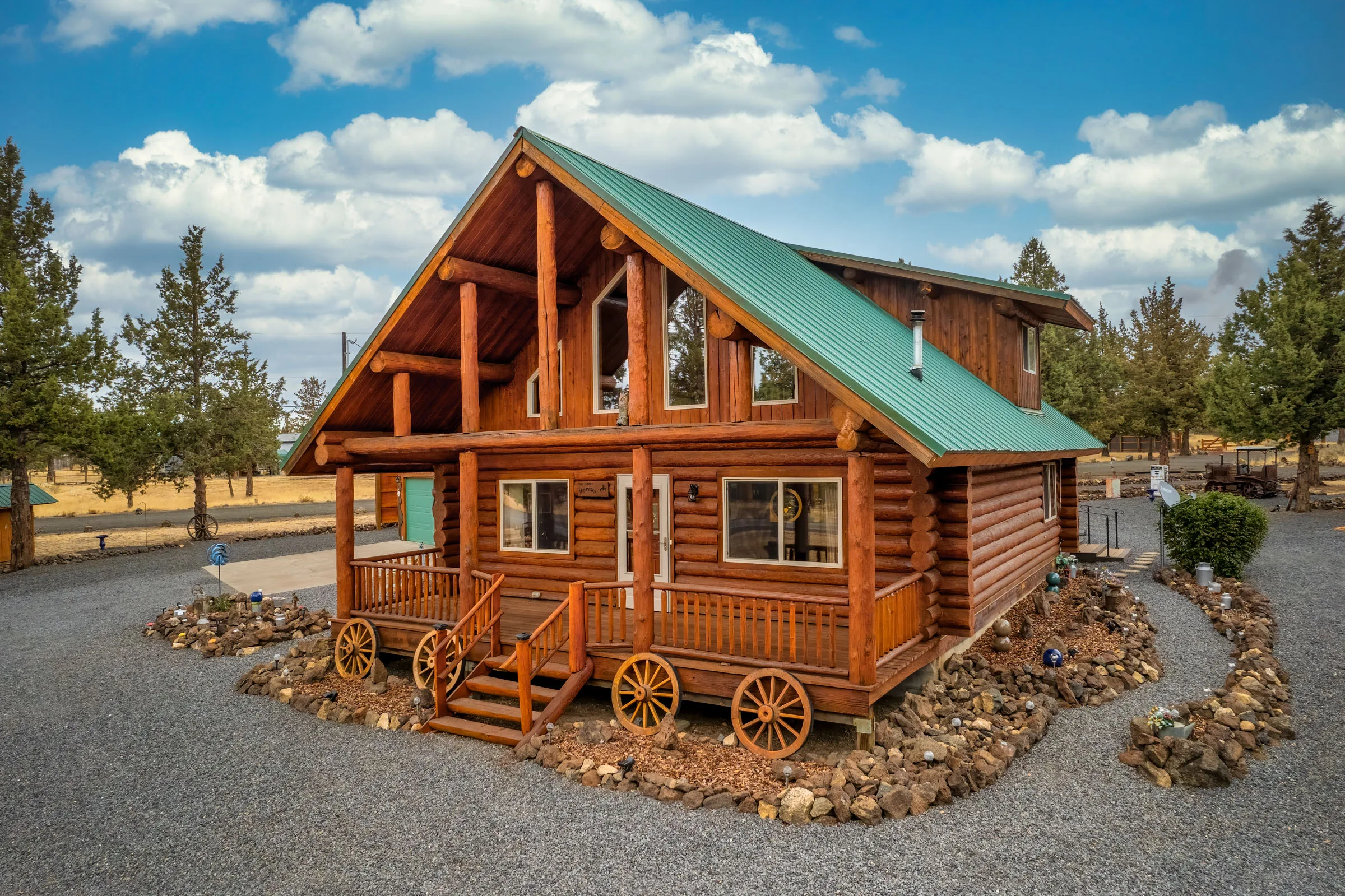
An aerial frame answers all of it in one image. It shows the lot in its setting — where the boundaries fall, how the outbuildings sit, what the property backs onto, how far it really is to the trailhead. For buyers relocating from out of the area, and a lot of them are, that context is often what makes them book a showing instead of scrolling past.
What you get
Aerial photos are built into the Mid package and up, and they can also be booked entirely on their own — you don’t need a full stills package to get them.
- 4–6 aerial images with the Mid package, 6–8 with Upper and Luxe — fully edited, MLS- and social-ready.
- Standalone drone shoots. Already have photos you’re happy with? I’ll fly the property on its own.
- Aerial video as part of the HD cinematic tour — useful for larger parcels where stills can’t carry the whole story.
- Acreage coverage for farms, ranches and properties with outbuildings, priced per acre so nothing gets left out of frame.
- 24–48 hour delivery, the same turnaround as everything else I shoot.
Licensed, and it matters more here than most places
I hold an FAA Part 107 remote pilot certificate. That is the legal requirement for any commercial drone work, listing photography included — and it is worth checking that whoever flies your listing actually holds one.
It matters practically, too. Central Oregon has more controlled airspace than people expect. Roberts Field in Redmond sits inside controlled airspace, Bend Municipal generates its own traffic, and a good number of listings fall within areas where flying legally requires prior FAA authorization. I handle that request as part of the booking, before shoot day, so the flight happens on schedule instead of becoming a problem at the property.
Which listings benefit most
Not every home needs an aerial. A townhome on a small interior lot usually doesn’t. But aerial photography earns its place quickly on:
- Acreage, ranch and farm properties, where the parcel is the product
- Homes with mountain, canyon or river views a ground camera can’t establish
- Properties backing onto public land, trails, greenway or golf
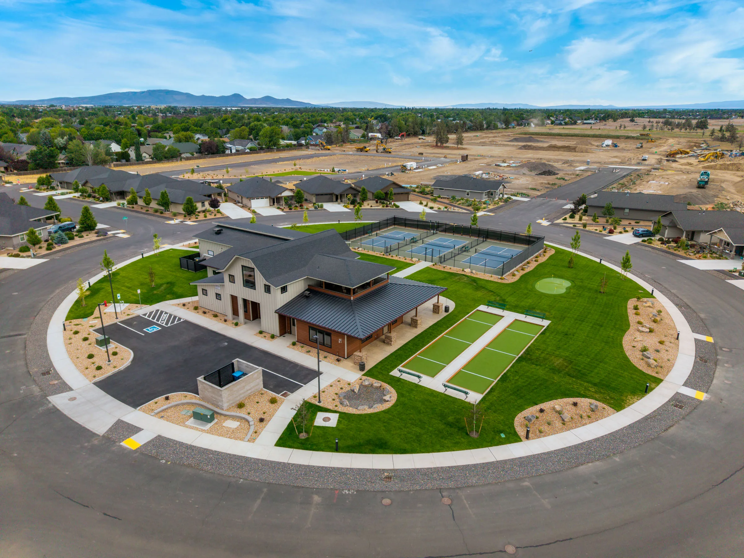
- New construction in developing neighborhoods, where context is hard to read from the street
- Short-term rentals in Sunriver, Sisters and Bend, where setting drives bookings
If you’re not sure whether a listing warrants it, send me the address. I’ll tell you honestly — I would rather you spend the money where it moves the needle.
High desert weather, and what happens when it turns
Wind is the real constraint here, not rain. Conditions on the east side of the Cascades can change fast, and there are days when flying would produce an image that does the listing no favors. If that happens, we reschedule the aerial portion at no charge — interiors usually go ahead as planned. You get the shot when the shot is worth taking.
As your Central Oregon real estate photographer, I fly listings across the region — from Bend and Redmond to Sisters. Aerials pair especially well with twilight exteriors; see all photography services and pricing.
Got a property worth seeing from above?
Licensed, insured, and scheduled around the light and the wind.